
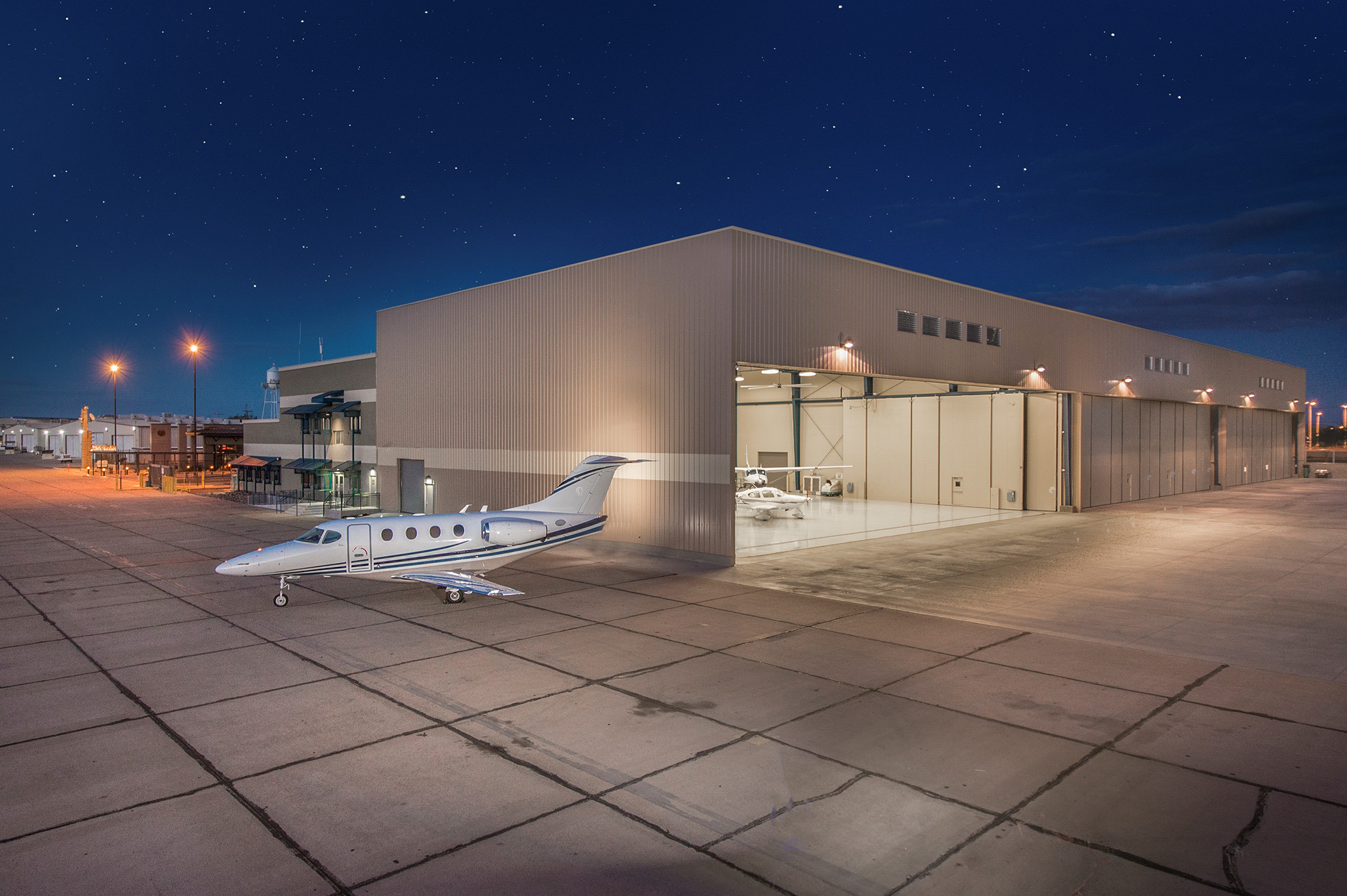
Airfield Information
Field Specifications
| Runways | 03/21 - 8,500 x 150 ft |
| Field Elevations | 971' MSL |
| Location | 33º25.3'N 112º22.5'W |
| Size | 789 acres |
Airport Remarks
Attended 1300 - 0400Z. E-W power lines 100 feet AGL 1/2 mile S approach end Rwy 03 unmarked and unlighted some NSTD marking. Numerous large acft parked approximately 500´ W of Rwy 03-21. Mountains SE at 6 miles to 4500´. Military jet tfc 5 miles west of arpt. Acft departing Rwy 03 assigned right crosswind climb straight ahead to Litchfield Road or passing 1032´ AGL before starting right turn. Noise abatement in effect ctc 602-773-1093. Noise sensitive neighborhood 1-3 miles NNE-NE of arpt. TPA -1971(1000) light acft and non-turbo jets; 2471(1500) heavy acft and turbo jets; 1471(500) helicopters. For MIRL Rwy 03-21 or REIL Rwy 03 and Rwy 21 during dalgt hrs ctc twr or arpt on 623-932-4550. After SS MIRL Rwy 03-21 are on. PAPI Rwy 03 and Rwy 21 opr continuously, REIL Rwy 03 and Rwy 21 turned off when twr clsd. Fee for all charters; travel clubs and certain revenue producing acft. User fee arpt. NOTE: See Special Notices - Aerobatic Operations.
View the Goodyear Pilot Guide
FAA NOTAMs
FAA Chart Supplements
- When possible, stay south of Interstate 10 when in the aircraft traffic pattern. If extended north of I-10 for safety, make best efforts to maintain 1,000 feet AGL if possible.